
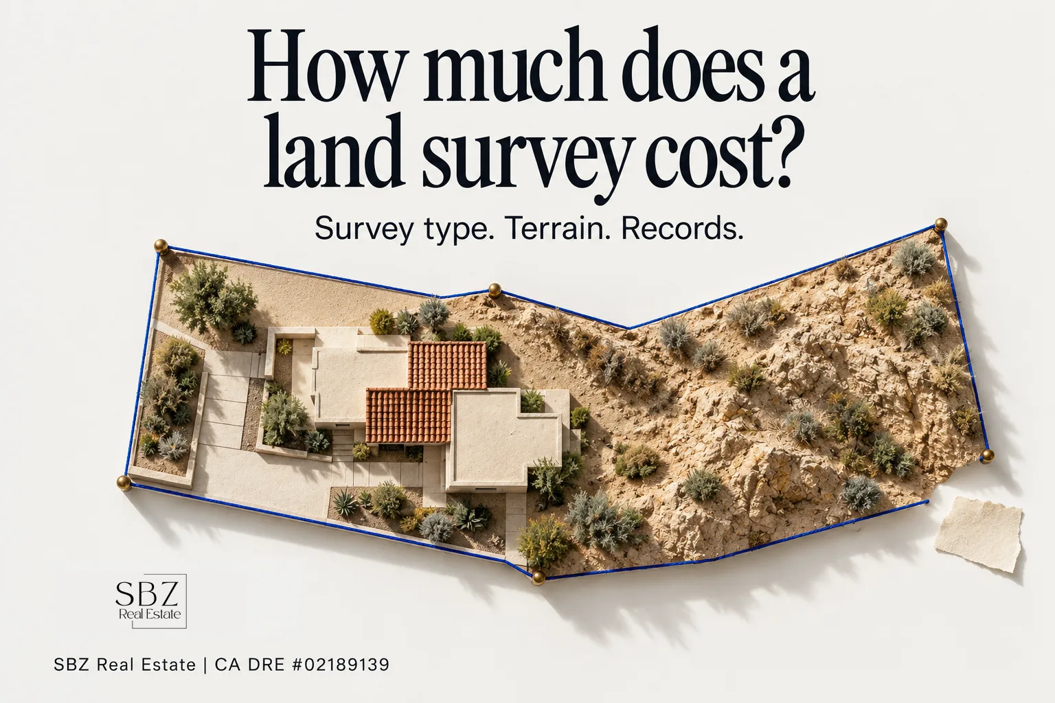
What a land survey costs depends mostly on three things: the type of survey you need, the size and terrain of the parcel, and how complete the existing records and corner markers are. A simple boundary check on a well-documented suburban lot sits at the low end. A large, unimproved Antelope Valley parcel with missing monuments, or a full ALTA survey for a lender, costs far more. The only figure you can rely on is a written quote from a licensed land surveyor after they've looked at your property and its records.
The question usually comes up at a stressful moment: a fence dispute, a property you're about to buy, or an addition you're planning. Below we cover what drives the price, which survey you actually need, and how to avoid paying for more survey than the job requires.
What actually determines the cost of a land survey?
Surveyors don't charge by the square foot. They price the time it takes to research, measure and document your land, so the cost drivers look like this:
- Survey type. A boundary survey, a topographic survey and an ALTA/NSPS land title survey are different products with very different amounts of work behind them.
- Parcel size and shape. More acreage and more corners mean more measuring. Irregular lots take longer than rectangles.
- Terrain and vegetation. Hillside lots, dense brush and rough desert ground slow down field crews.
- Records research. The surveyor pulls deeds, recorded maps, prior records of survey and corner records. Clean, recent records save time. Conflicting legal descriptions or very old subdivisions add to it.
- Monument condition. If the original corner markers are still in place, the job goes faster. If they've been paved over, pulled out or never set, the surveyor has to reconstruct the boundary from evidence.
- Filing requirements. Under California's Professional Land Surveyors' Act, some surveys require filing a record of survey with the county surveyor, which adds drafting and review time.
- Turnaround. A rush timeline, such as a survey needed before a contingency deadline, can cost more.
Which type of survey do you actually need?
Many people overpay because they order the wrong survey. Here's what each one does:
Boundary survey. This establishes your legal property lines and sets or verifies the corner monuments. It's the right choice for fence disputes, confirming what you're buying, or checking whether a neighbor's improvements cross the line.
Topographic survey. This maps elevations, grades, drainage and existing features. Architects and engineers usually need one before an addition, an ADU, a pool or new construction, especially on sloped lots.
ALTA/NSPS land title survey. This is the most detailed option, built to national standards and usually requested by lenders and title companies on commercial deals or high-value properties. It shows boundaries, easements, encroachments, improvements and other matters that affect title. It's also the most expensive.
Construction staking. Once plans are approved, the surveyor marks where the foundation, walls or other improvements go so the builder stays within setbacks.
Lot line adjustment or parcel map work. If you're moving a line between two parcels or splitting land, survey work is part of a longer process with the city or county, so the cost and timeline grow accordingly.
If you're not sure which one fits, tell the surveyor exactly what decision you're trying to make. A good surveyor will scope the job to that question.
Why do Antelope Valley surveys often cost more than city lots?
Land in Palmdale, Lancaster and Quartz Hill includes a lot of raw acreage, older desert parcels and properties that were divided long before modern subdivision mapping. On those parcels, original monuments can be missing, legal descriptions can be vague, and the nearest reliable control point may be some distance away.
A tract home in a newer subdivision is a different situation. The recorded tract map and existing monuments do most of the work, so surveys there tend to be simpler. In practice, the same word, "survey," can mean very different jobs depending on where the land is and when it was mapped.
Do you need a survey when buying a home in California?
California doesn't require a survey to buy a home, and many standard residential purchases close without one. A standard title insurance policy, however, typically excludes matters that an accurate survey would have revealed, such as encroachments or boundary discrepancies. If you want that protection, an extended-coverage policy usually requires a survey.
We recommend a survey when:
- The fence line doesn't match what the listing or plat map suggests
- You're buying vacant land or a large parcel
- You plan to build, add an ADU or install a pool
- A neighbor's structure, driveway or wall looks close to the line
- The property hasn't changed hands in decades
The survey belongs in your due-diligence window, alongside the inspection. Our guide to buying a home walks through that timeline, and our piece on what home inspections reveal in older Antelope Valley homes covers the physical side of the same diligence.
Who pays for a land survey: the buyer or the seller?
In California, who pays is negotiable. Most often the buyer orders and pays for the survey as part of due diligence, because the buyer is the one relying on it. A seller may choose to order one before listing, especially on land or a property with a known boundary question, so that buyers aren't surprised mid-escrow.
If you're selling and you know there's a line issue, dealing with it early is usually cheaper than renegotiating after a buyer's surveyor finds it. Survey costs, like other seller expenses, belong on your seller net sheet so you see the full picture before you set a price. For the broader list of what sellers typically pay, see what closing costs home sellers pay in California.
How do you get an accurate quote and avoid overpaying?
A few steps make a real difference:
- Hire a California-licensed land surveyor. Boundary work in California must be done by a Professional Land Surveyor (PLS) or a licensed civil engineer authorized to practice land surveying. You can verify a license with the state Board for Professional Engineers, Land Surveyors, and Geologists.
- Gather what you already have. Your grant deed, preliminary title report, any prior survey and the assessor's parcel number help the surveyor scope the job, and can shorten the research.
- Explain the purpose. "I'm putting up a fence" and "my lender needs an ALTA" are very different jobs.
- Get two or three written quotes. Compare what each includes: setting monuments, filing a record of survey, a stamped map, and staking the line so you can see it on the ground.
- Ask about timing. If you're in escrow, confirm the survey will be finished before your contingency deadline. Our explainer on how escrow works in California covers those deadlines.
What happens if the survey finds a problem?
Common findings include a fence a few feet off the line, a shed or driveway over the boundary, or an unrecorded easement in use. None of these automatically ends a deal. Depending on the situation, the options include a boundary line agreement with the neighbor, a price adjustment, a seller repair or removal, title endorsements, or walking away within your contingency period.
In practice, problems found before closing can usually be negotiated, and problems found after closing usually can't. If a survey turns up something in a transaction we're handling, we help you weigh those options and coordinate with title and escrow so your timeline holds.
Frequently asked questions
How long does a land survey take?
It depends on the survey type, the parcel and the surveyor's backlog. Simple residential boundary surveys can be relatively quick. Large parcels, ALTA surveys, or jobs that require filing a record of survey with the county take longer, so ask for a timeline in writing.
Can I use an old survey instead of ordering a new one?
Sometimes. An existing survey is useful for research, but it may not reflect later improvements, fences or recorded changes. Title companies and lenders often require a recent survey, so check their requirements before relying on an old one.
Does the county assessor's map show my exact property lines?
No. Assessor's parcel maps are for tax purposes and aren't a legal boundary determination. Only a licensed land surveyor can establish your legal property lines.
Is a land survey worth the cost when buying a house?
For a typical tract home with no visible boundary questions, many buyers skip it. For land, larger parcels, older properties, or anything you plan to build on, a survey is usually inexpensive insurance compared with a boundary dispute after closing.
Who should I call first, a surveyor or my real estate agent?
If you're in a transaction, talk to your agent first so the survey fits your contingency timeline and contract terms. Outside of a sale, you can go directly to a licensed land surveyor.
If you're buying land or weighing a sale and the property lines are part of the question, reach out to SBZ Real Estate. A short conversation costs nothing, and we can help you work out whether a survey belongs in your plan before you spend anything on one.